Geography of the Panchayat
Geographical Features
Chingoli Grama Panchayat | Alappuzha District
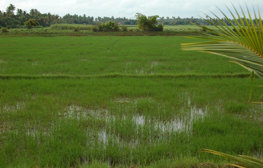
Chingoli Grama Panchayat, situated in the Karthikappally Taluk of Alappuzha District, is a region that reflects the distinctive characteristics of Kerala’s coastal-rural landscape. The Panchayat is predominantly flat in terrain and is enriched with paddy fields, coconut groves, water bodies, and canals. Its proximity to the sea and connection with the backwater regions significantly influence the local climate and lifestyle.
Geographical Overview
Terrain and Landscape
The Panchayat is predominantly flat in terrain and is enriched with paddy fields, coconut groves, water bodies, and canals.
Coastal and Backwater Influence
Its proximity to the sea and connection with the backwater regions significantly influence the local climate and lifestyle.
Climate
The area experiences a tropical monsoon climate.
Monsoon and Rainfall
Both the southwest and northeast monsoons provide abundant rainfall, ensuring adequate water availability throughout the year.
Soil and Agriculture
The soil is mainly alluvial and sandy in nature, making it suitable for agricultural activities.
Biodiversity
Remnants of mangrove forests found within the Panchayat serve as important habitats for biodiversity.
Livelihood and Rural Development
With favorable natural conditions for agriculture, fishing, and small-scale trade, Chingoli is a Panchayat that continues to progress on the path of development while preserving its natural resources and rich rural heritage.
Nature, Heritage and Development
With favorable natural conditions for agriculture, fishing, and small-scale trade, Chingoli is a Panchayat that continues to progress on the path of development while preserving its natural resources and rich rural heritage.